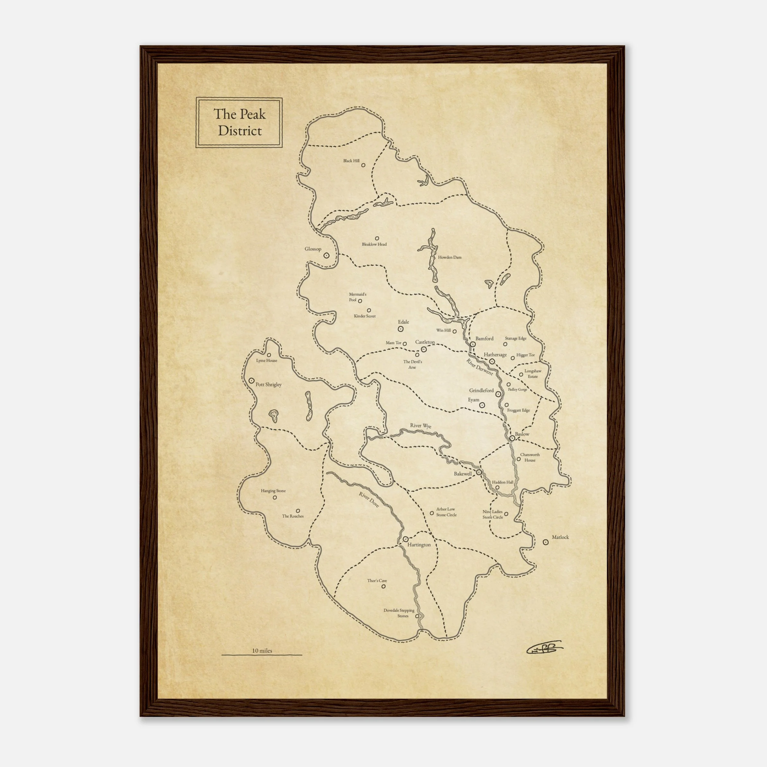
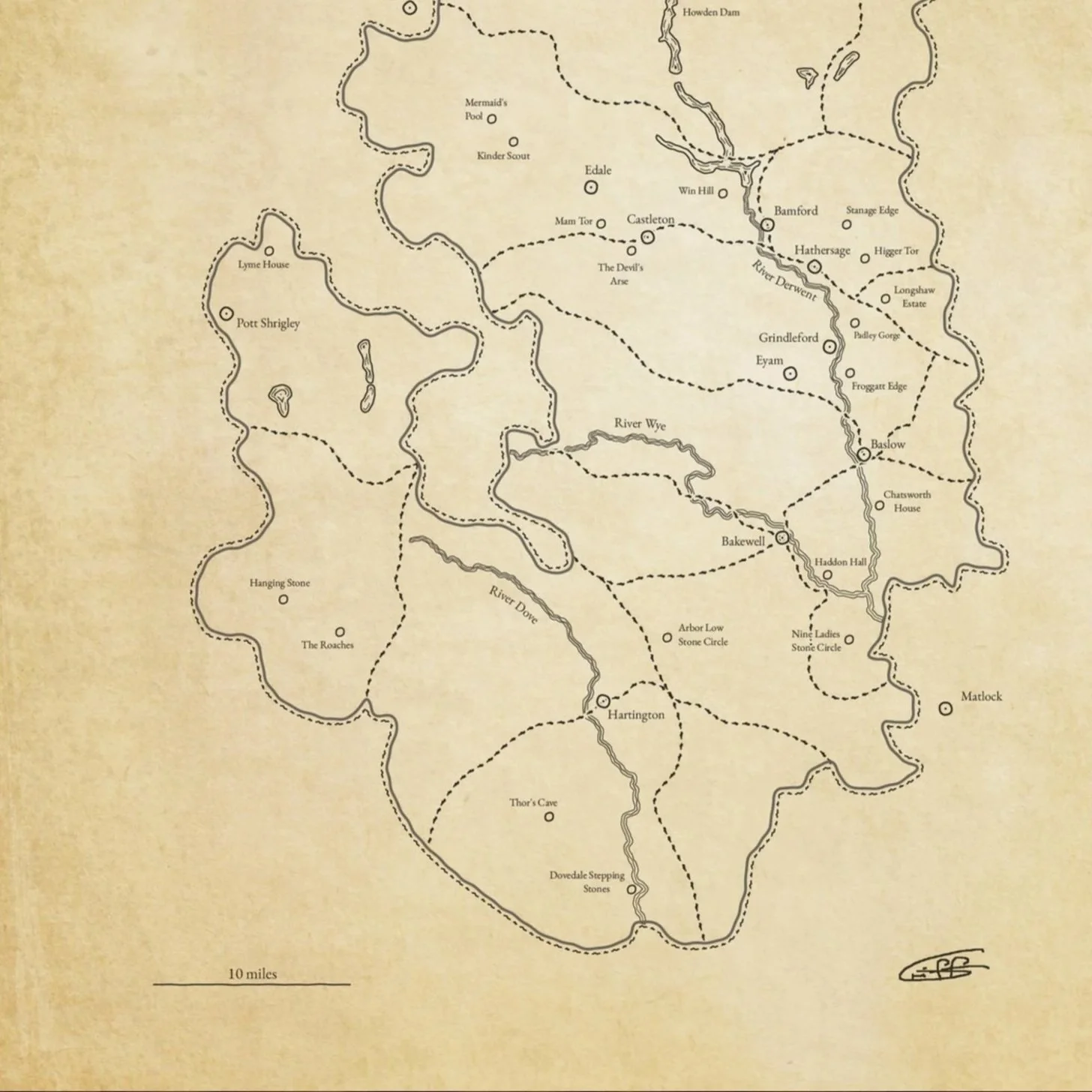
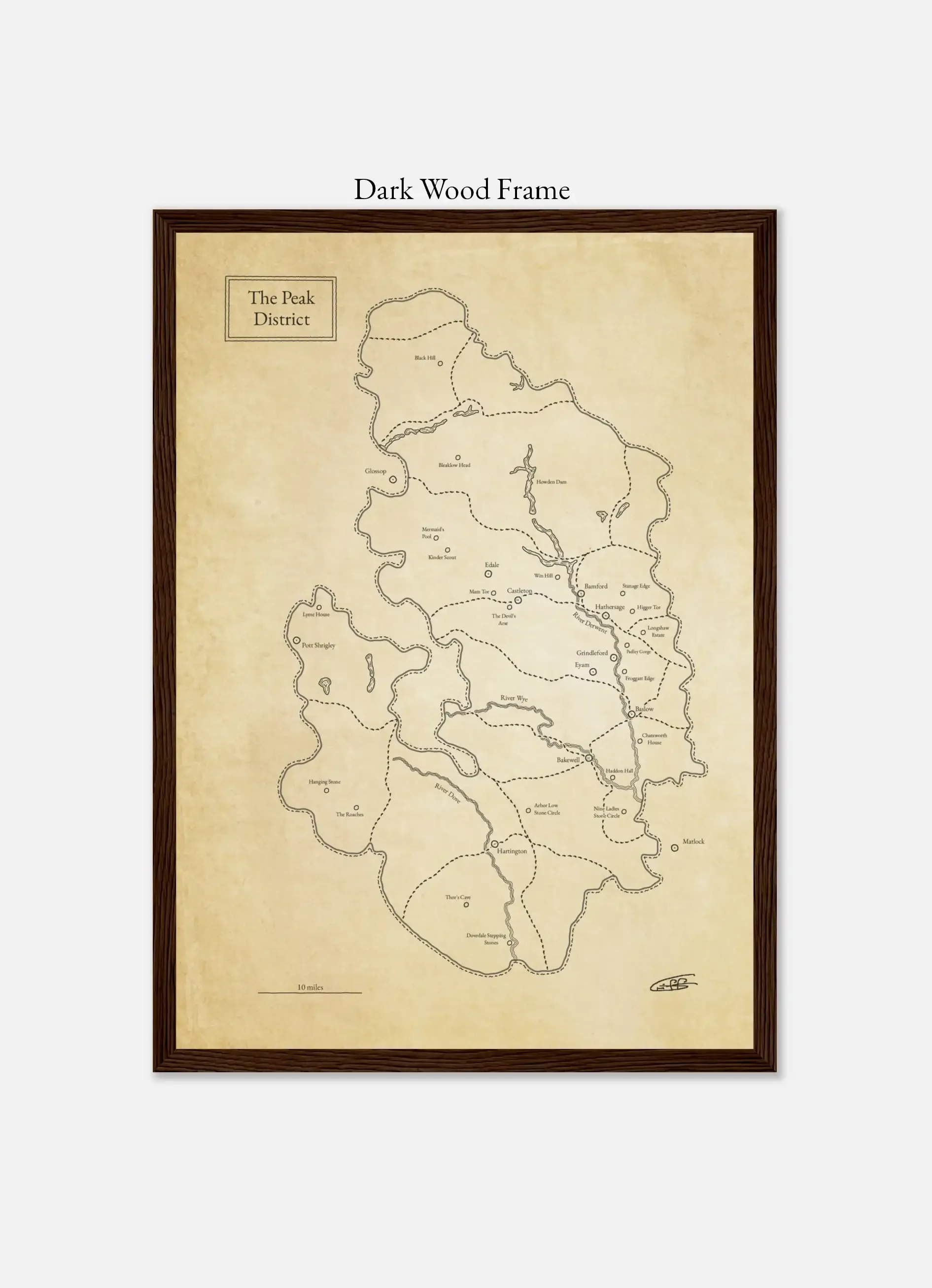
This map shows the area of the village of Derwent which now lies underwater, bounded by the modern-day shore of Ladybower reservoir. Researched from national archives and geospatially correlated to the reservoir, this map prides an insight into this now lost village in the heart of the Peak District.
The area around these reservoirs is amongst my favourite stomping-grounds, and whilst walking I often wondered about the old village beneath the waters. It was a real pleasure, and fascinating, reading into the history of the area and poring over the old maps to build a picture of what lies beneath.
All of the cartography is my own and no AI us used in my work.
Print Options; archival (A3)
Unframed £48
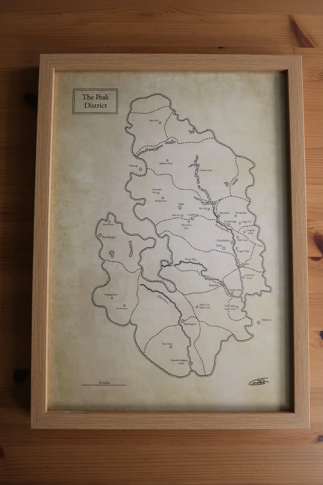
Framed £68
free world-wide shipping
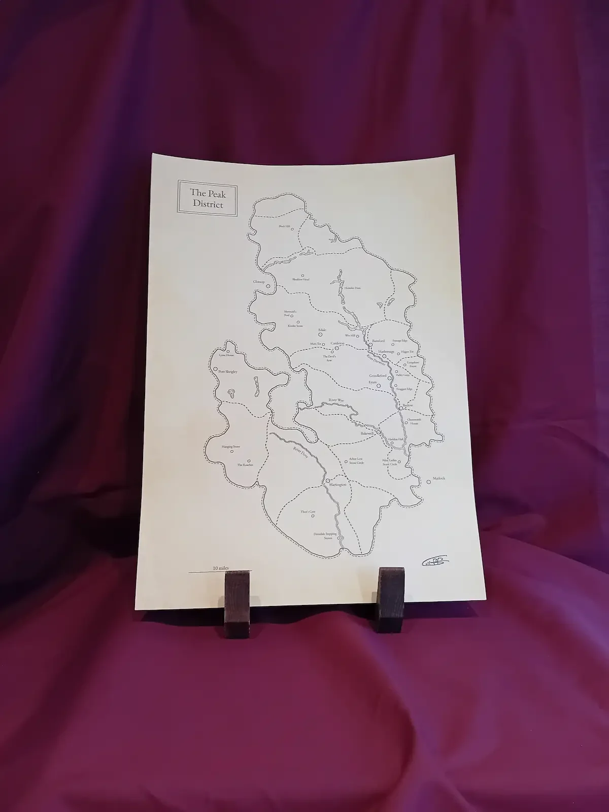
Notes: Each piece is individually printed, and subtle variations in tone and finish may occur, reflecting the nature of fine art production.
This map shows the area of the village of Derwent which now lies underwater, bounded by the modern-day shore of Ladybower reservoir. Researched from national archives and geospatially correlated to the reservoir, this map prides an insight into this now lost village in the heart of the Peak District.
The area around these reservoirs is amongst my favourite stomping-grounds, and whilst walking I often wondered about the old village beneath the waters. It was a real pleasure, and fascinating, reading into the history of the area and poring over the old maps to build a picture of what lies beneath.
All of the cartography is my own and no AI us used in my work.
Print Options; archival (A3)
Unframed £48
Framed £68
free world-wide shipping
Notes: Each piece is individually printed, and subtle variations in tone and finish may occur, reflecting the nature of fine art production.
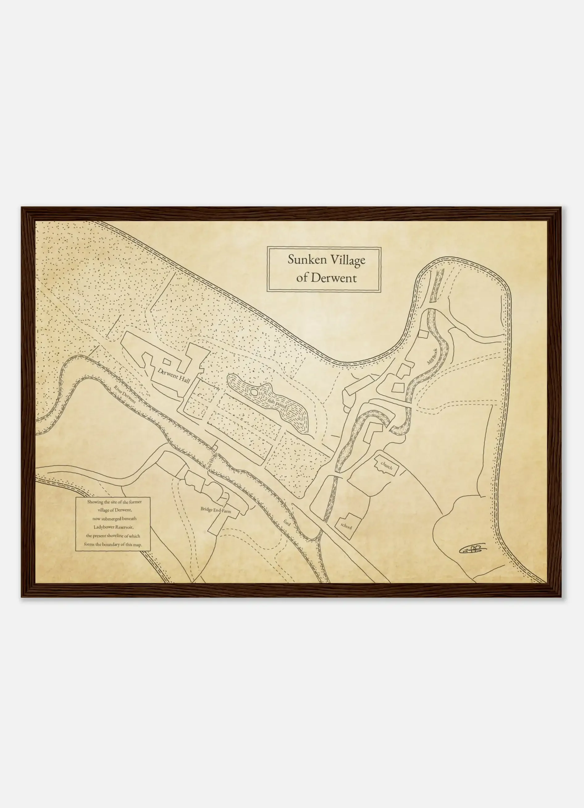 Image 1 of 8
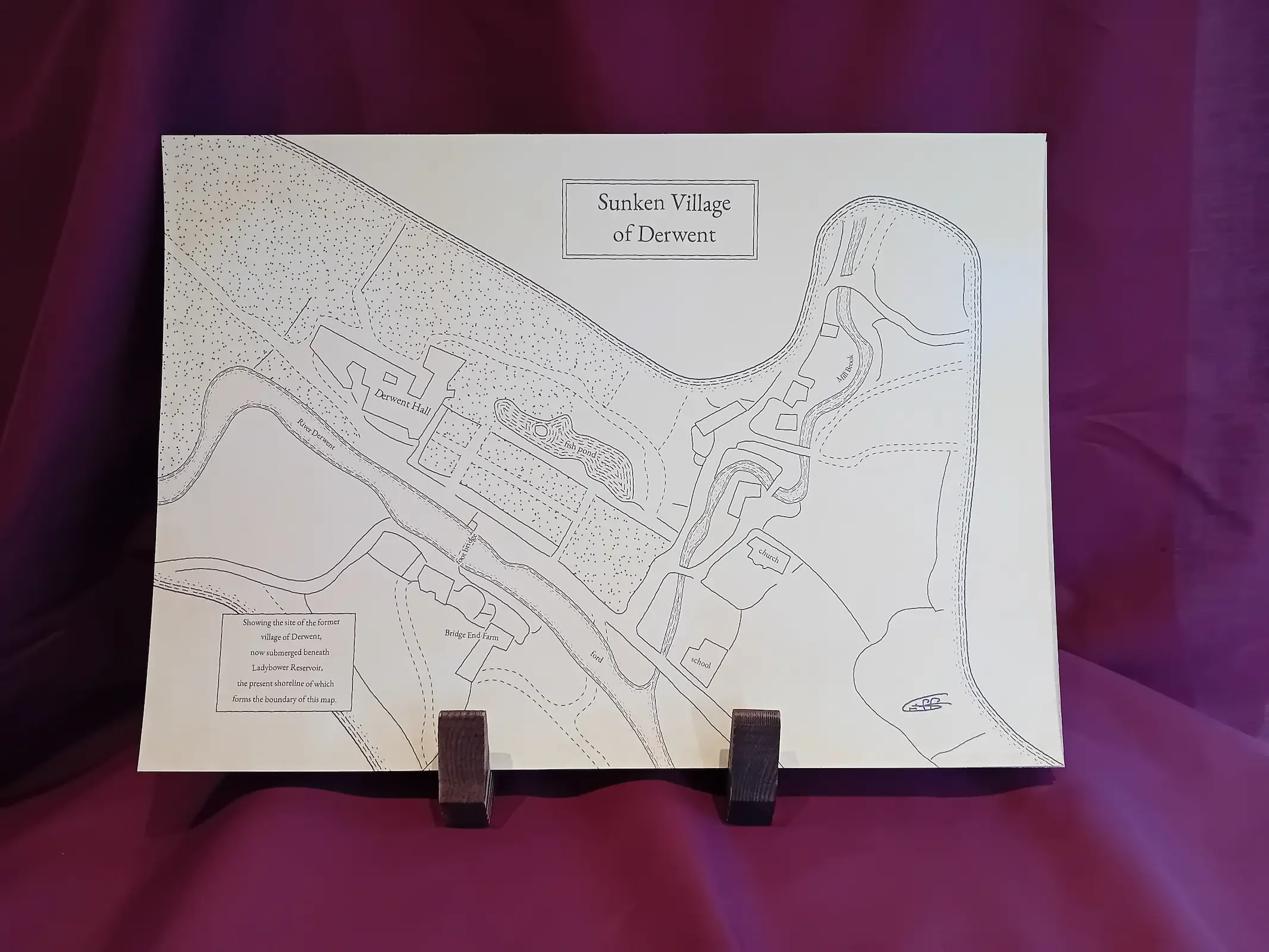 Image 2 of 8
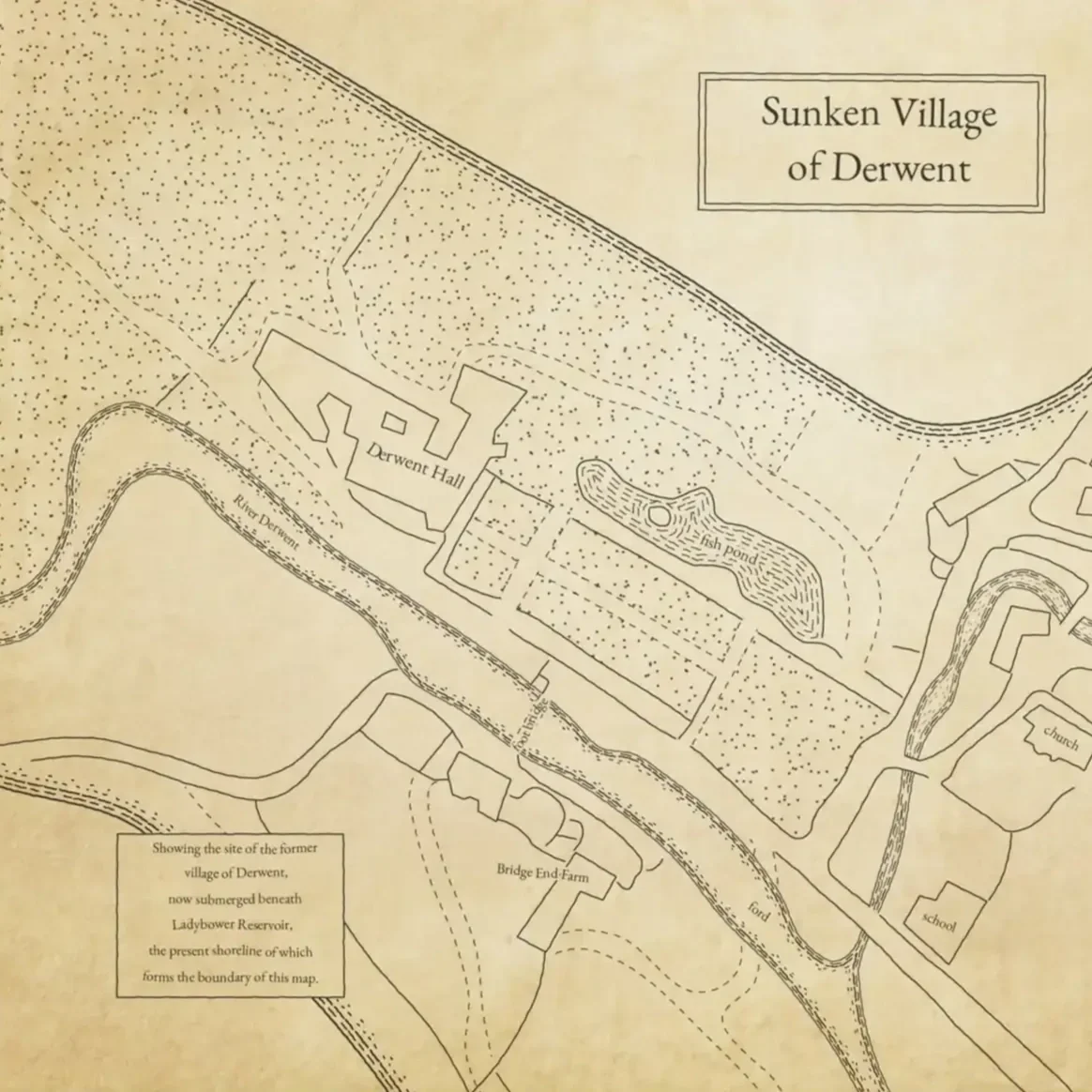 Image 3 of 8
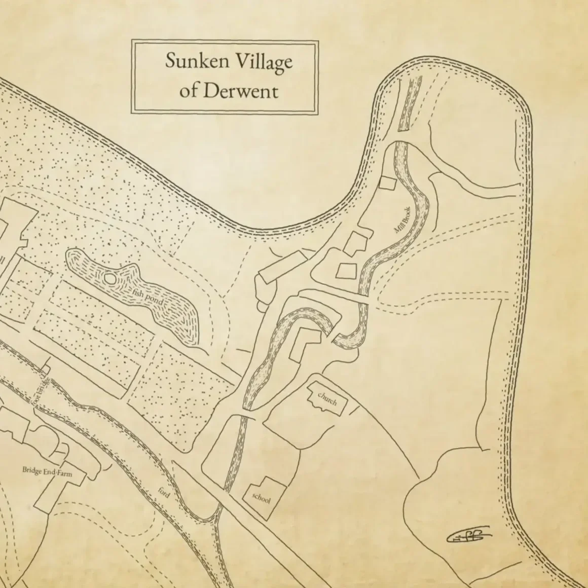 Image 4 of 8
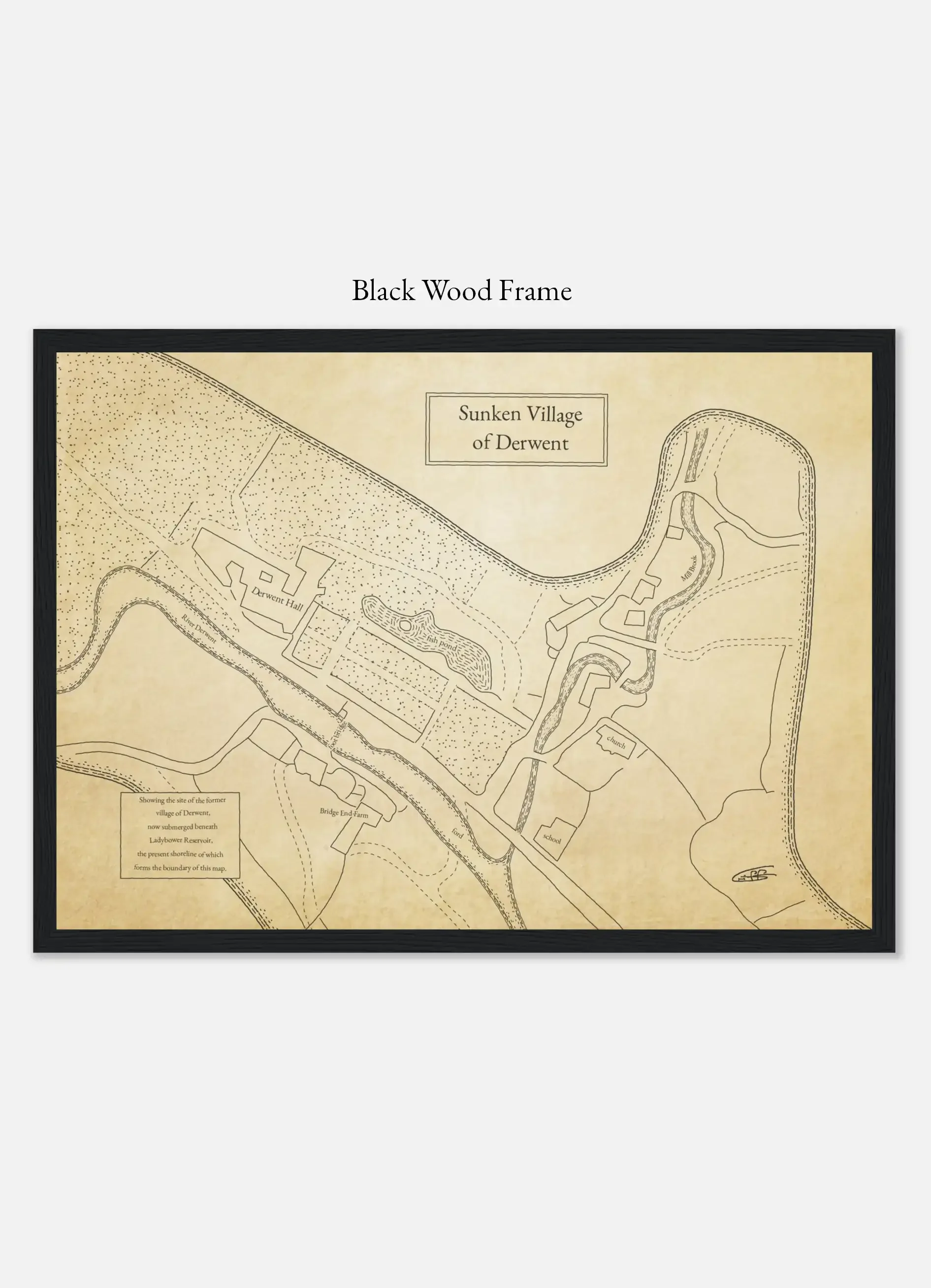 Image 5 of 8
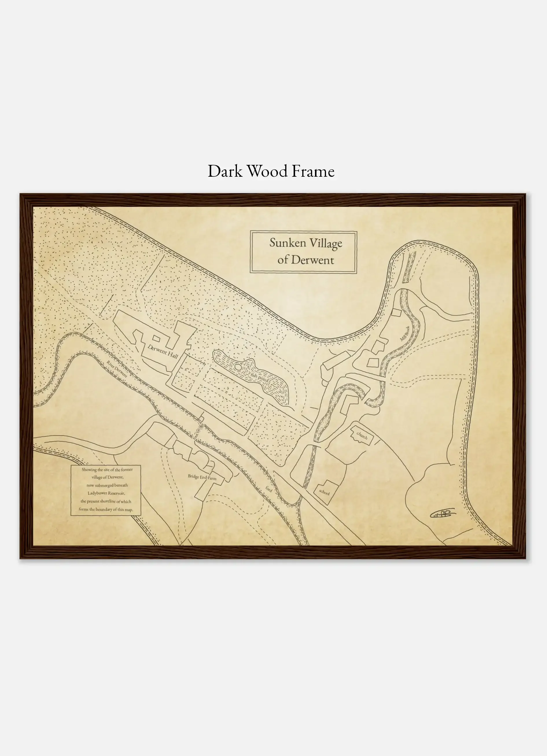 Image 6 of 8
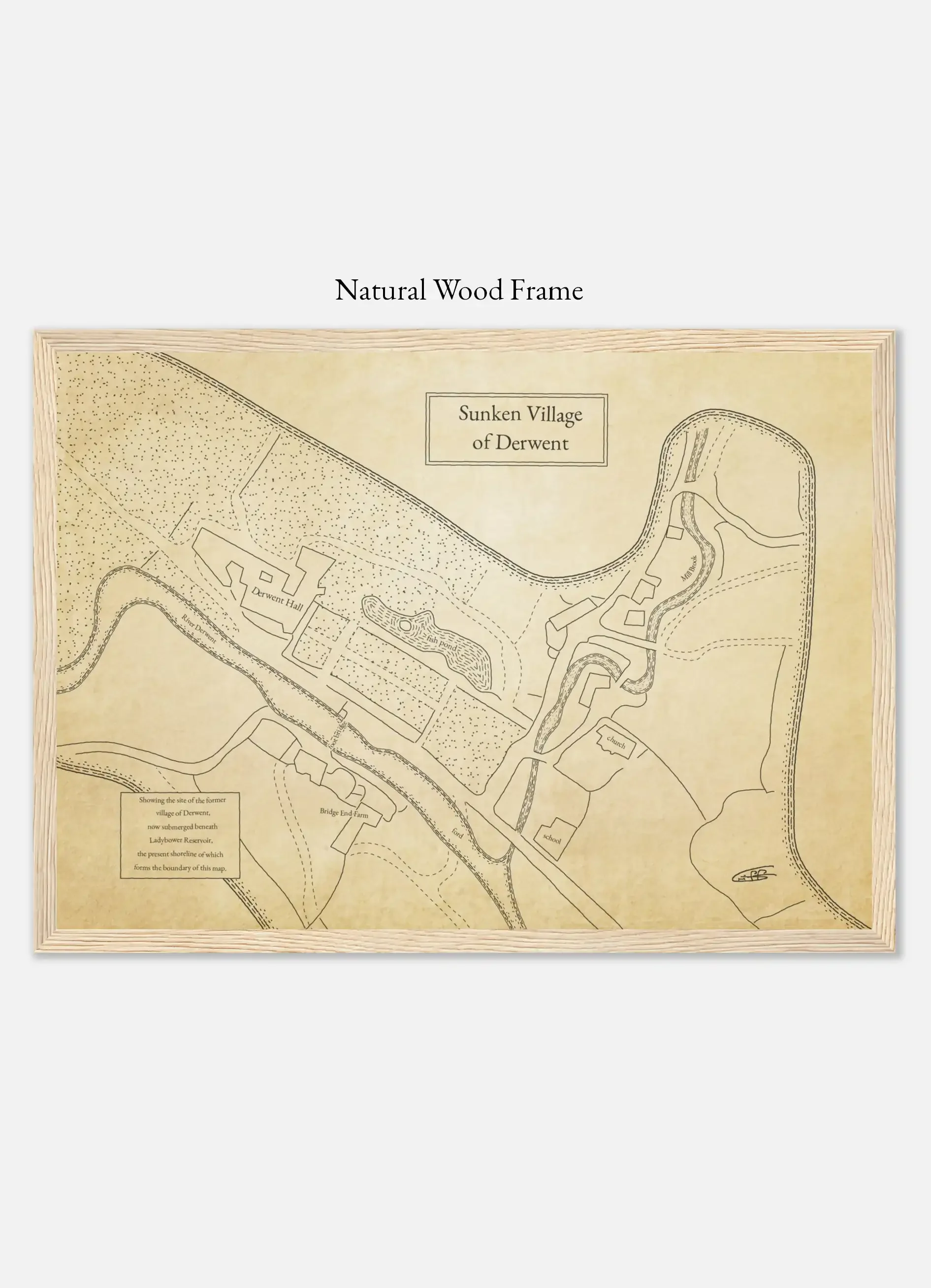 Image 7 of 8
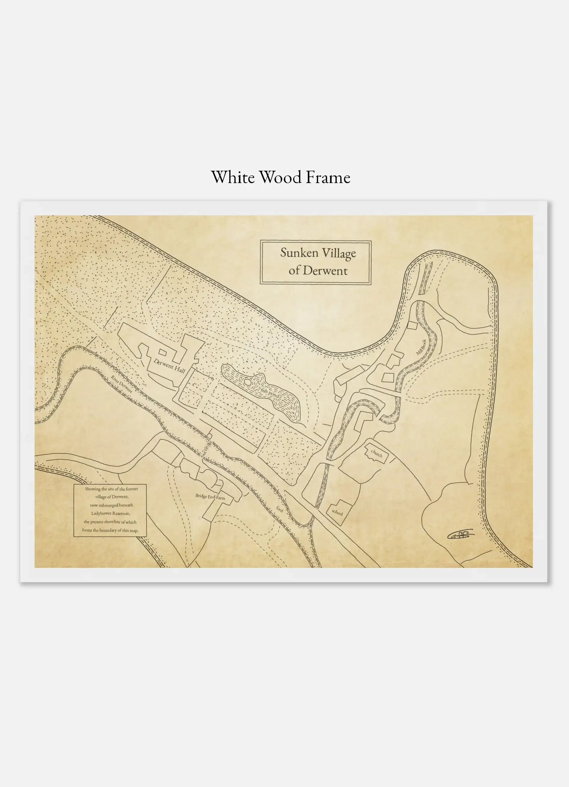 Image 8 of 8